
Ethical Use of Geospatial Data by Banks and Insurers in New Zealand
- Avant

- Oct 27, 2025
- 4 min read
Extreme weather has tested New Zealand’s infrastructure and reshaped the way financial institutions think about land risk. Floods, slips and rising water tables have exposed weaknesses in how banks and insurers assess property stability. Traditional approaches that rely on council maps and historical claims data are no longer enough.

This geospatial data gives lenders, insurers and geotech engineers the ability to understand how land behaves over time, identify patterns and plan around them. Used well, this data can strengthen decision-making, protect clients and create genuine market advantages. Used poorly, it erodes public trust.
What Geospatial Data Adds
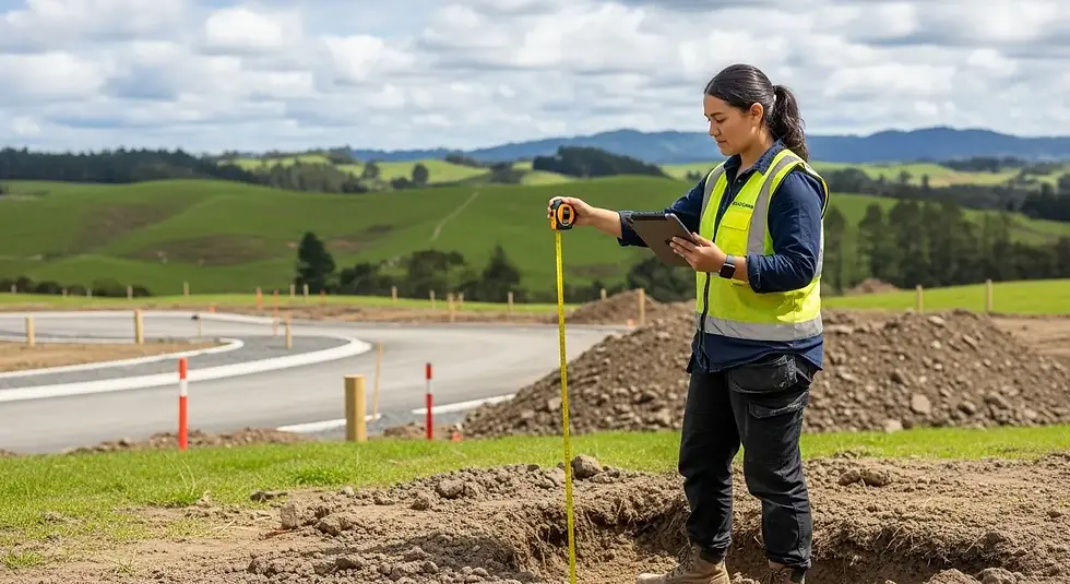
Modern satellites like Sentinel-1 record radar reflections from the earth’s surface every 12 days. By comparing these readings across months and years, geospatial specialists can detect slow subsidence, slope movement or other deformation trends that affect properties and infrastructure.
When this is linked with engineering assessments, soil data and hydrology, banks and insurers gain a better understanding of local stability. For example:
Detecting small but consistent land subsidence in flood-prone suburbs
Identifying hillside developments where creep movement is accelerating
Confirming whether post-event ground stabilisation has actually occurred
The practical effect is better pricing of risk. A property that sits on solid, stable ground should not be subsidising one in a high-movement zone. A more precise view of land behaviour allows financial products to reflect reality rather than averages.
Quality geospatial data offers a clearer picture. Through partnerships such as Avant’s with SatSense.com, New Zealand organisations now have access to high-resolution satellite data that tracks ground movement to millimetre precision.

Responsibility of Data Use
If geospatial analysis becomes a tool for blanket postcode pricing, companies may appear to be punishing customers for factors outside their control. Public tolerance for opaque data use is low, and regulators are already focused on automated decision systems.
Responsible use of geospatial data means treating it as one input among several, not as an unchallengeable truth. Land moves for many reasons: natural soil expansion, groundwater change or local construction. Movement data needs interpretation, not automation.
Banks and insurers that treat satellite data as an additionaladvisory tool, rather than absolute... will build credibility, not controversy.
Fairness and Transparency
Customers deserve to understand how technology affects them. When geospatial data contributes to a lending or underwriting decision, clients should know the basis of that assessment. Transparency builds confidence, while secrecy breeds mistrust.
Good practice includes:
Explaining that satellite data is used to support risk assessment, not to replace local evaluation
Making it clear how long the dataset spans and what confidence level applies
Giving customers a way to question or verify findings
Open communication prevents surprise and positions the organisation as fair and informed rather than detached and analytical.
Partnering with Geotechs
Satellite data is most valuable when interpreted by professionals who understand the ground. Geotechnical engineers know how to combine radar-derived displacement data with field conditions, drainage and soil type. When financial institutions work with geotechs, they avoid false positives and produce insights that are genuinely useful for clients.
A partnership model also shifts perception. Instead of a bank using data “against” a borrower, it becomes a collaboration aimed at better understanding and reducing risk.
For instance, if a small movement trend is detected, a lender could work with the client and their engineer to plan mitigation rather than adjusting interest rates immediately. That approach demonstrates leadership and responsibility.
Competitive Advantage Through Ethical Geospatial Data Use
Ethical data use can itself become a differentiator. A bank that communicates clearly, integrates expert review and rewards risk-reduction investments will gain customer trust. An insurer that can prove it prices based on verified historical evidence rather than fear will stand out in a crowded market.
Examples of competitive innovation include:
Mortgage products with improved rates for properties that show long-term stability
Insurance discounts for verified remediation or resilience upgrades
Faster approvals where geospatial checks validate low-risk sites
These are positive, marketable outcomes that connect technology with fairness. Clients are more likely to engage when they believe data is used to support them rather than to exploit them.
The Risk of Getting It Wrong
The opposite approach can do lasting harm. If customers believe a company is using data unfairly or secretly, the reputational cost outweighs any short-term efficiency gain. New Zealand’s market is small and connected; once trust is lost, it spreads quickly through communities and media.
The goal is to understand it clearly and act with integrity.That means combining data precision with human judgement, involving engineers in interpretation, and keeping clients informed throughout.


Comments